ANR flash calls for projects
COPiLOtE PROJECT
Certification of ODATIS ocean data and services centres
Coordinator: ODATIS
The COPiLOtE project is being coordinated by Gilbert Maudire (Ifremer) at the Earth Sciences School and Observatory (EOST, University of Strasbourg and CNRS). It has four partners—ODATIS, Ifremer, CNRS and Data Terra (joint service unit)—and funding for 24 months.
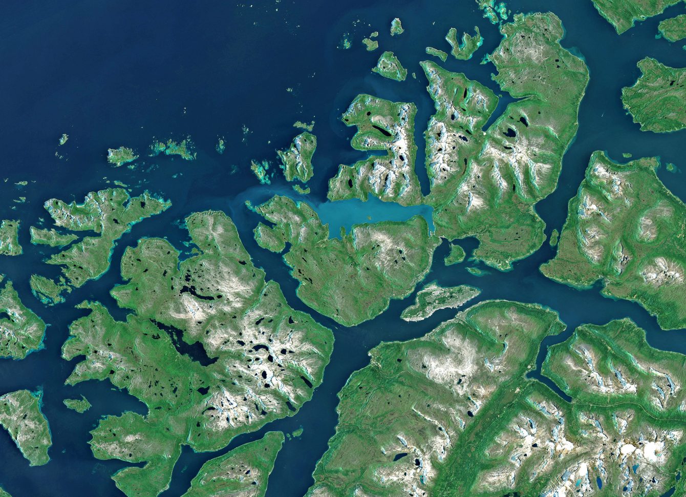
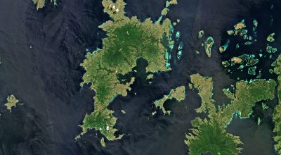
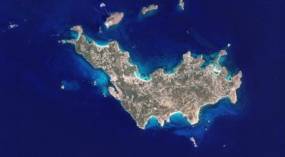
Open science principles are a key issue for oceanography research data. The oceans are a shared global domain that remains difficult to observe, calling on a range of resources including satellites, ships, submersibles, autonomous observatories and analysis of samples in the laboratory. Sufficient data coverage of the requisite quality can only be achieved through multi-scale cooperation, closer exchanges and greater interoperability. The oceans are also constantly shifting in response to a changing climate, which makes individual observations precious because they are not reproducible, providing a snapshot at a given moment in time from which we can build time series to identify trends and understand how things evolve.
PROSPECTS
The ODATIS data hub is the marine component of the Data Terra research infrastructure, consisting of a network of data and services centres (DSCs) operated by six research organizations and the Universités Marines federation. This network aims to secure long-term French marine observations and make them accessible.
To improve services offered and guarantee their quality, the ambition is for each DSC to seek CoreTrustSeal certification. The COPiLOtE project provides support in meeting the organizational, methodological and technical requirements of this certification, involving all stakeholders from research bodies and data producers and stewards to data users.
The final aim is for all of ODATIS’s DSCs to reach at least level 3—in the implementation phase—of the criteria required to achieve CoreTrustSeal certification.
Harmonizing data stewardship procedures around FAIR principles is a shared objective of all of the Earth-observation data hubs, with a view to assuring transparent access to cross-cutting data.
The ultimate ambition is to facilitate cross-disciplinary geosphere/biosphere studies and be able to model them in integrated fashion in order to address major social challenges such as climate change, declining biodiversity, hazard mitigation and assessment of human-induced impacts.
Methodological advances are shared with other communities, like for example social sciences, notably through Research Data Alliance working groups.
FairTOIS PROJECT
Implementing FAIR principles in the Theia/OZCAR information system
Coordinator: THEIA
The FairTOIS project is being coordinated by Sylvie Galle (IRD). It has three partners—IGE, OSUG and INRAE (RiverLy)—and funding for 24 months.
To address the challenges posed by environmental changes, we need multi-disciplinary approaches to cross-correlate knowledge and thus better describe, understand and predict processes at play and how they are evolving. Such research relies heavily on long-term observatories in the Critical Zone documenting the thin layer at Earth’s surface from unaltered rocks to the top of the canopy. Observatories’ data sharing strategies vary, so multi-disciplinary or multi-site searching is difficult. Making these data FAIR and accessible to all via a one-stop portal therefore carries high stakes.
The goal of the Theia/OZCAR information system is to boost the profile of in-situ land surfaces data and ease access and uptake via a one-stop portal managed by the Theia data hub and the OZCAR research infrastructure (for Observations de la Zone Critique : Applications et Recherche*).
* Critical Zone Observations: Applications and Research
The FairTOIS project aims to:
- Promote data discovery through standardized variable names and objects of interest, as well as through accessing diverse data (time series, gridded data, 2D vectors or profiles)
- Develop data interoperability through web services
- Disseminate FAIR data principles within the land surfaces community through OZCAR members
PROSPECTS
The work and approaches developed through this project tie into the broader concepts being considered within the Data Terra research infrastructure. It will provide scientists with tools and training to allocate richly documented digital object identifiers (DOIs) and publish data papers. The project will also help to strengthen the French community’s position within the European eLTER research infrastructure focused on ecosystems and the critical zone. Thanks to its generic, FAIR approach, the project will be a prime mover behind the construction of the eLTER-RI information system, which will hold a broader palette of data than eLTER.
CEDRE PROJECT
Towards certification of French solid Earth data directories
Coordinator: EOST
The CEDRE project is being coordinated by Aude Chambodut (CNRS) at the Earth Sciences School and Observatory (EOST, University of Strasbourg and CNRS). It has 10 partners—EOST, ISTERRE, IPGP, OPGC, GEOAZUR, BRGM, LIENSs, LEGOS, IGN-ENSG and CEREGE—and funding for 24 months.
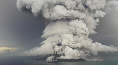
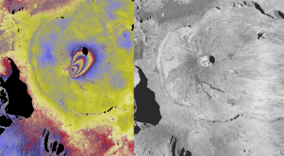
Earth sciences data have always been readily available and accessible, especially—although not exclusively—in the field of geophysics. Observing our planet on a global scale naturally leads scientists to share data across borders. In France, there are already a number of solid Earth data and services centres. Managed by single or multi-structural organizations, these centres supply direct measurements of our planet’s physical parameters and/or data products derived from large-scale processing and computing based on scientific approaches. Open science principles are therefore a key issue for research data in this field.
The CEDRE project’s objective is to step up technical cooperation between 13 solid Earth data centres in France. While their open science strategies are at different stages of maturity, they are all applying its principles. Until now, certification of best practices has not been a priority compared to operational tasks. This project aims to overcome this obstacle by making what has until now remained an individual certification process a team effort. It is a joint operation of EPOS-France and the ForM@Ter data hub.
The dual objective is for two-thirds of the data directories involved to finalize their CoreTrustSeal certification and for them all to improve data stewardship practices.
PROSPECTS
Sustaining data warehouses remains a challenge in the light of pragmatic organizational, technical, financial and/or legal realities. Certification is an important tool to assure data directories’ longevity. The chief prospect for the CEDRE project, focused on the certification process, is to improve the practices—at all levels and in all activities—of the data centres/data directories concerned, for the greater benefit of users.
The other prospects are to improve the image of each data directory by showing their commitment to open science and data stewardship best practices, increased cross-disciplinary scientific and technical cooperation, and the extension of the collective approach to other scientific communities through EPOS-France and the ForM@Ter hub.
➡️ Find all of the Flash open science projects selected on the dedicated page