
-
June_2023_Training_Course_Presentation
-
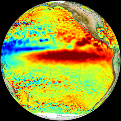
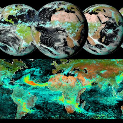
El Niño phenomenon in November 2015 (image - 1 Mo)
-
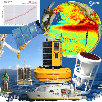
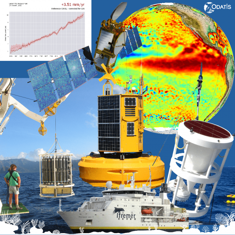
In situ and satellite observation means
-
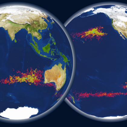
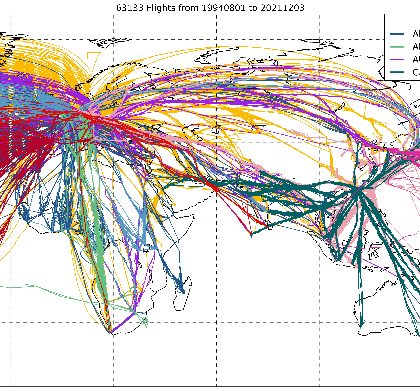
Modeling of particle trajectories (image - 2 Mo)
-
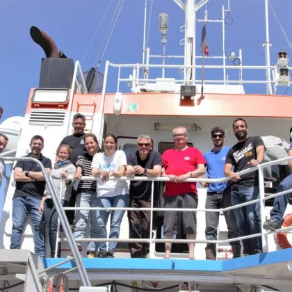
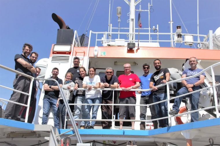
Crew of the FUMSECK sea campaign, in 2019, in the Mediterranean
-
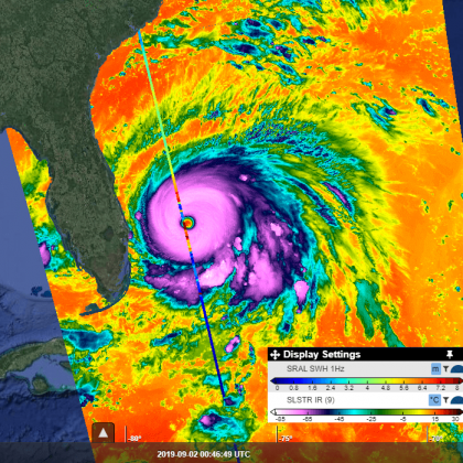
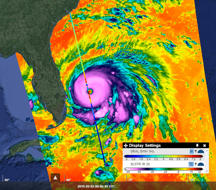
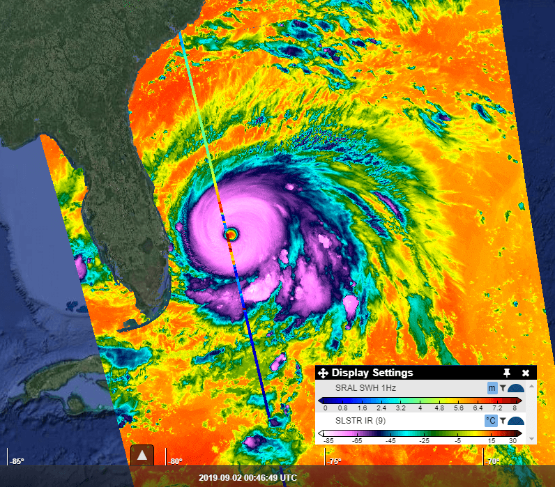
Waves and temperature during the passage of Hurricane Dorian in September 2019 in the Bahamas
-
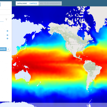
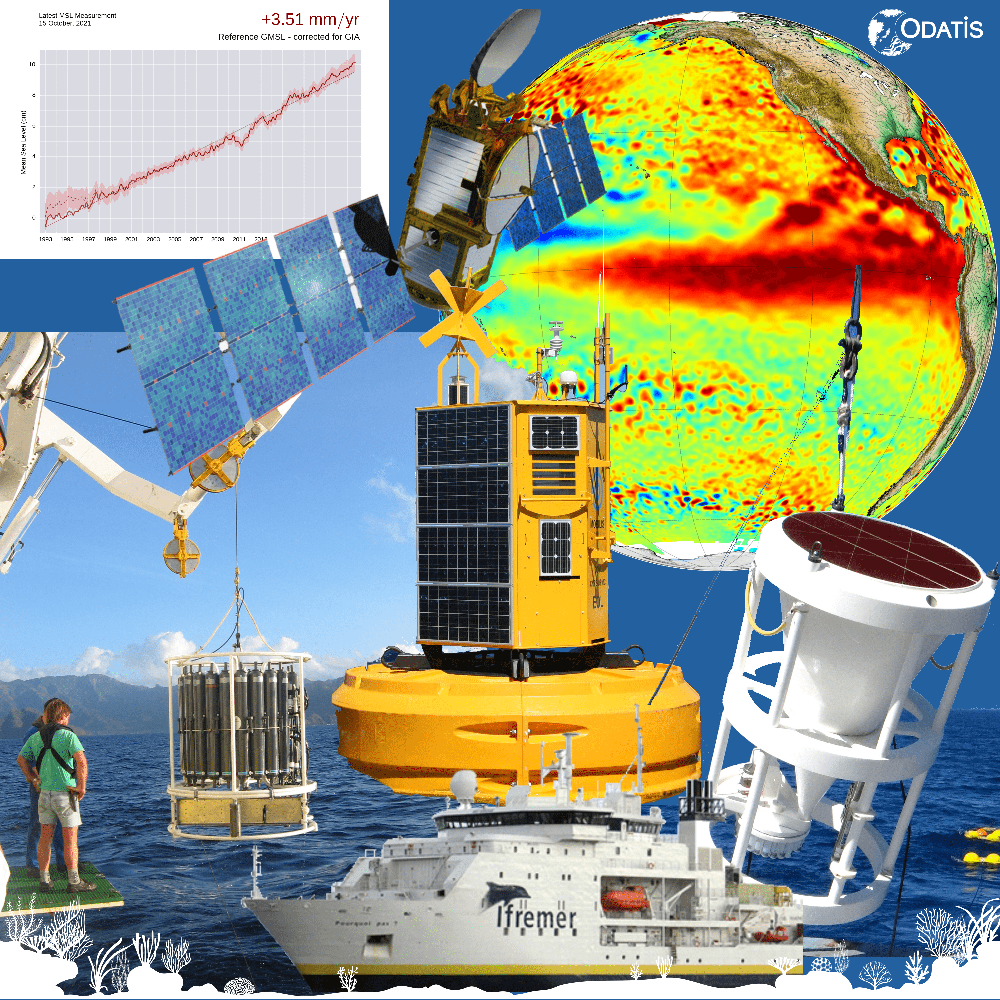
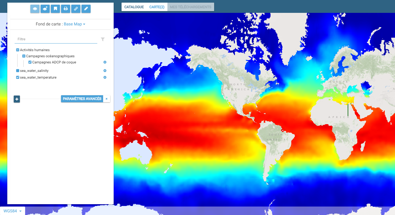
Ocean temperature
-
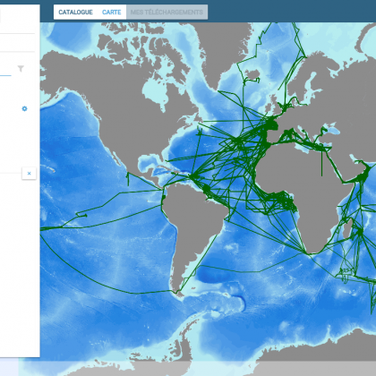
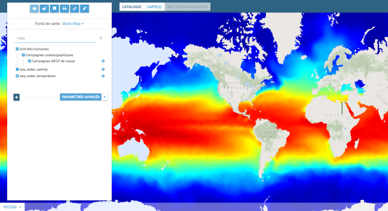
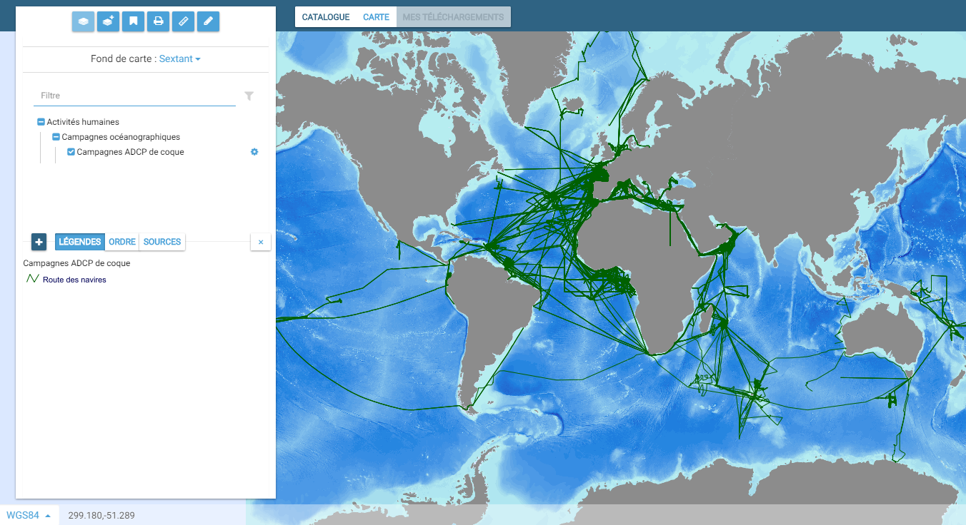
Cartographic interface of the ODATIS catalog with the route of oceanographic vessels
-
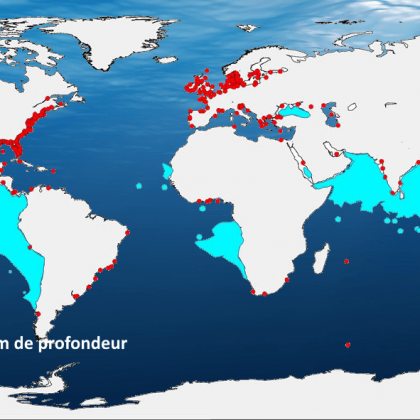
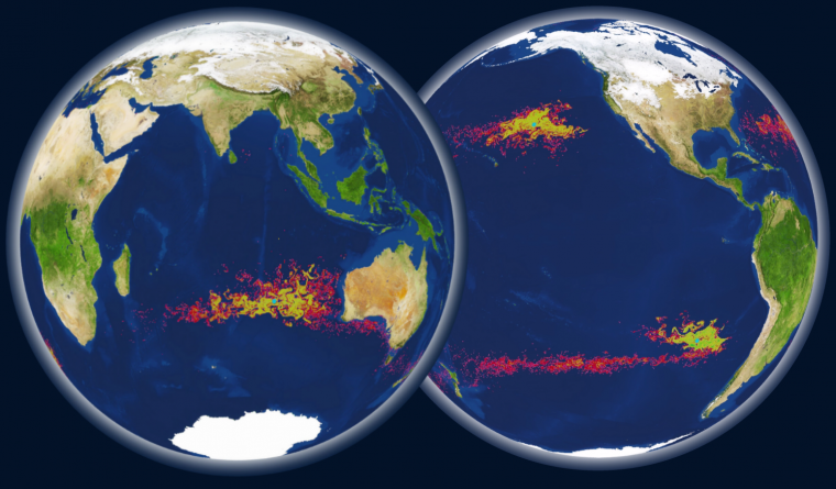
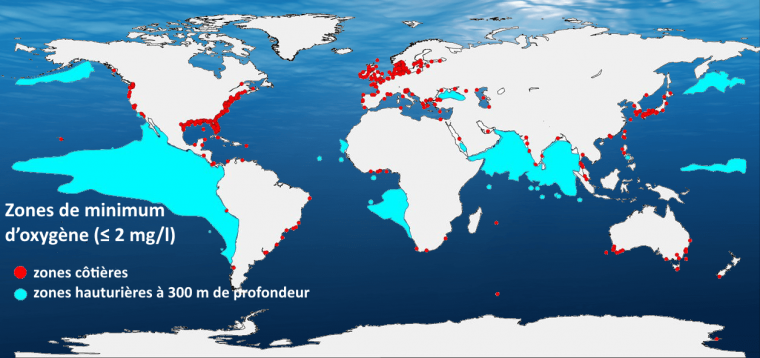
Oxygen minimum zones in the ocean
-
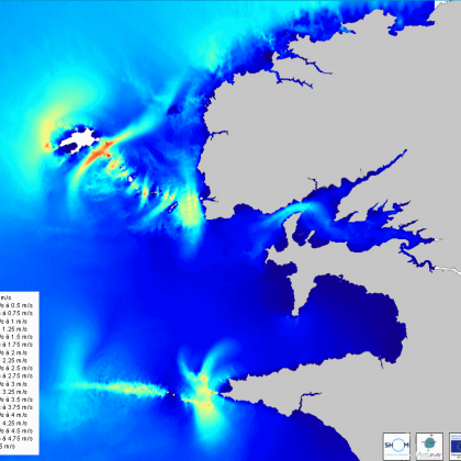
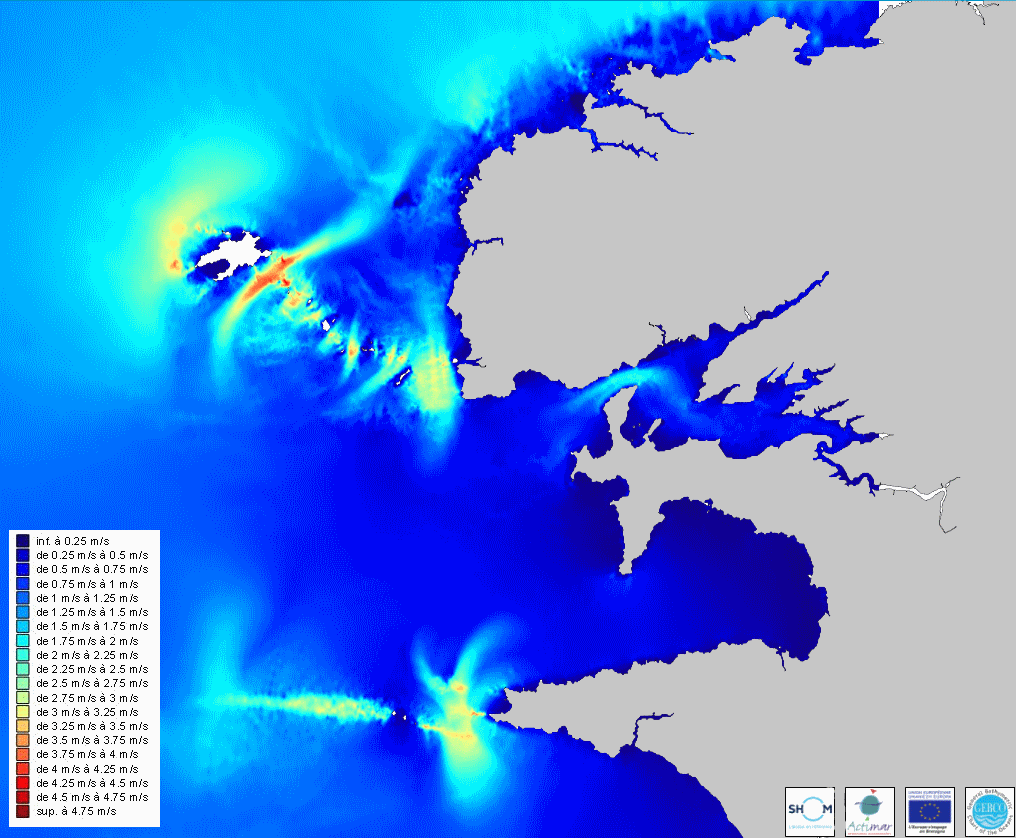
3D tidal currents – ODATIS
-
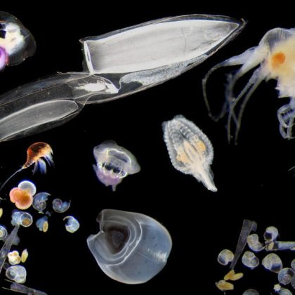
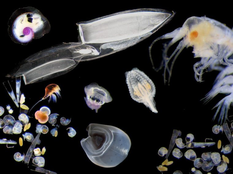
Richness of zooplankton – ODATIS (image - < 0.1 Mo)
-
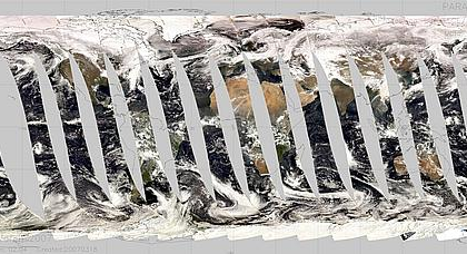
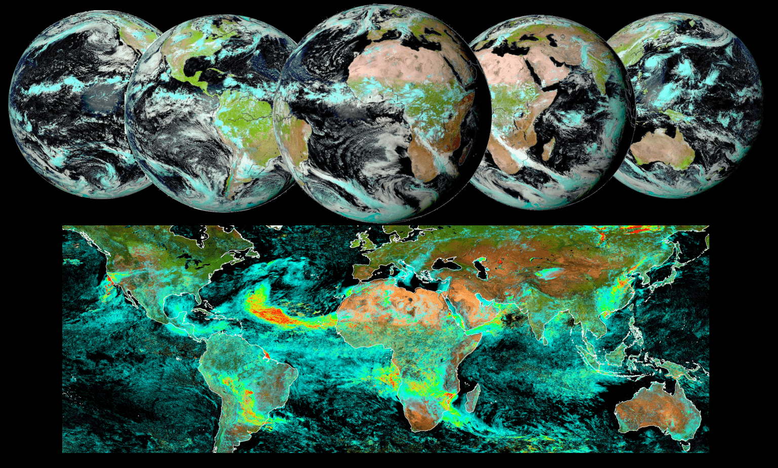
AERUS – GEO (image - 1 Mo)
-
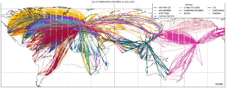
IAGOS – AERIS (image - 1 Mo)
-
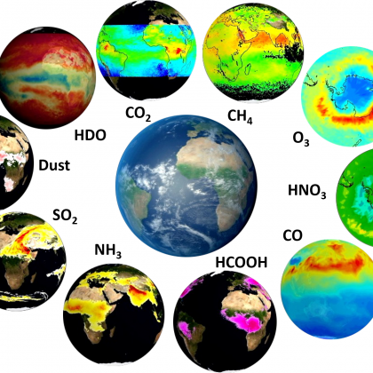
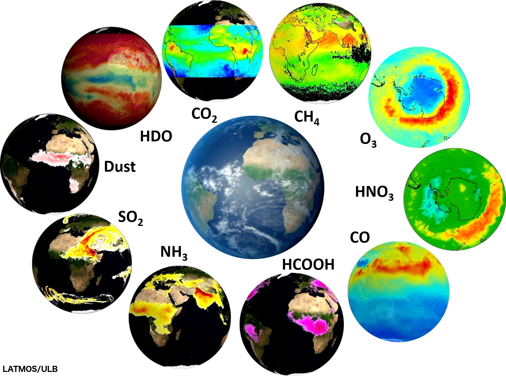
IASI, un allié spatial pour étudier atmosphère, météo et climat – AERIS (image - 2 Mo)
-
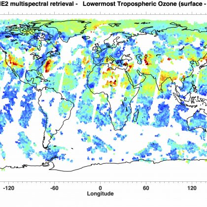
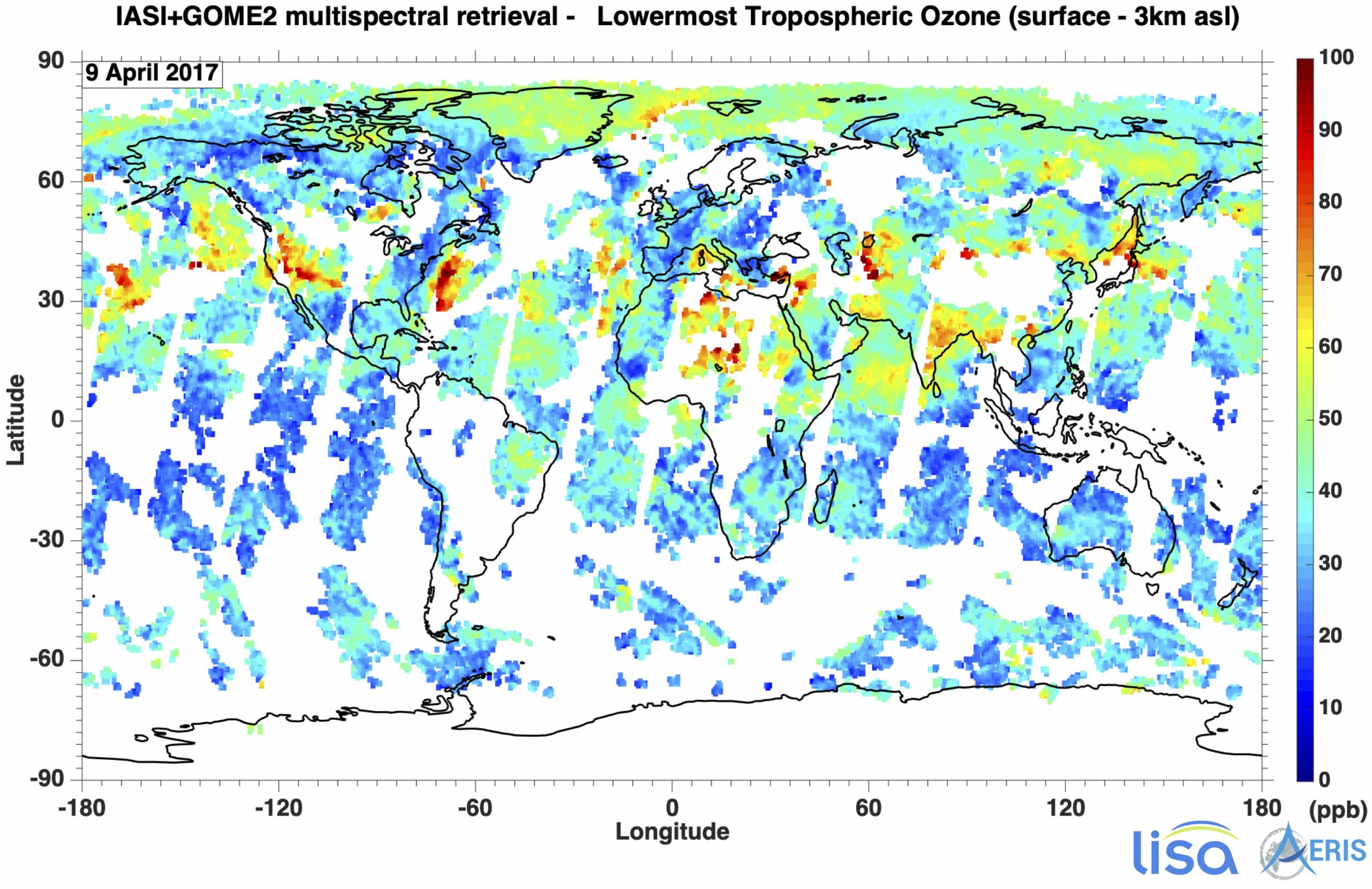
IASI+GOME2: production of ozone data from multi-spectral observations (image - 1 Mo)
-
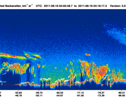
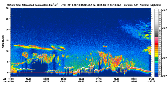
Calipso measurements – AERIS
-
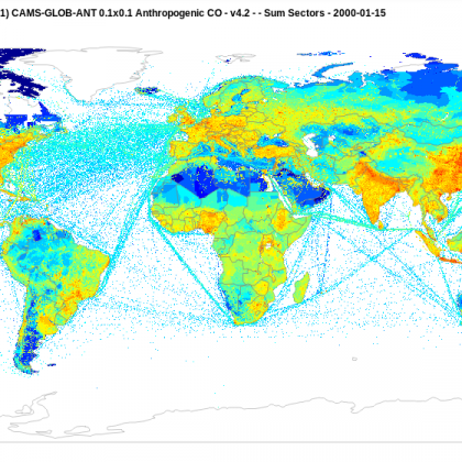
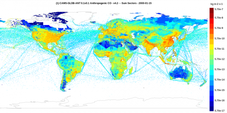
Anthropogenic carbon monoxide (CO) measurement – AERIS
-
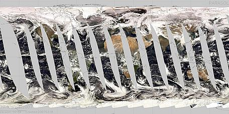
Parasol – AERIS
-
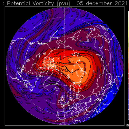
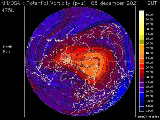
Potential Vorticity (pvu) – AERIS (image - < 0.1 Mo)
-

Data Terra full color logo (image - < 0.1 Mo)
-

Data Terra white logo (image - < 0.1 Mo)
-
Activity report Data Terra 2017 – 2020 (pdf - 1 Mo)


