Le Dispositif Institutionnel National d’Accès Mutualisé en Imagerie Satellitaire (DINAMIS) est une composante transverse de l’Infrastructure de Recherche (IR) Data Terra. Il a été créé en 2018 sous l’impulsion de 6 organismes fondateurs : CNES, CNRS, IGN, INRAE, IRD, CIRAD. Il prend le relais de dispositifs précurseurs d’accès aux données en harmonisant et en mutualisant les ressources : archives anciennes, moyens de réception, infrastructures informatiques, organisation.
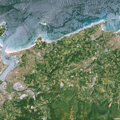
DINAMIS assure l’approvisionnement en images satellitaires de très haute résolution spatiale (type Spot 6/7, Pléiades, Pleiades Neo…) aux entités institutionnelles françaises qui adhèrent au Dispositif : laboratoires scientifiques, Agences et services de l’État, Collectivités et entités publiques territoriales… Il est également ouvert aux Associations françaises investies d’une mission de service public, aux prestataires privés de la commande publique en France, aux entreprises françaises porteuses de projets de R&D, ainsi qu’aux laboratoires publics de recherche à l’international. Il nourrit les besoins en données des communautés scientifiques fédérées autour des 5 pôles thématiques de l’IR Data Terra, et contribue à stimuler l’innovation dans les Territoires à partir des produits du spatial.
Il contribue ainsi au développement de nouveaux produits/services thématiques issus de l’observation de la Terre au bénéfice de politiques publiques nationales et territoriales. Le Bureau Exécutif et les Cellules techniques permanentes sont coordonnées par le secrétaire Exécutif de DINAMIS. Ces instances assurent le fonctionnement quotidien des opérations d’acquisition, diffusion, planification et de gestion des ressources.