DATA TERRA PARTICIPATES IN GEODATADAYS 2022
Geographic information plays a vital role to understand and analyse territories devlopement . Spatial data make it possible to understand, manage and anticipate the challenges of our rapidly changing society. Multitudes of variables are crossed to meet the knowledge needs of individuals, businesses, local authorities and public decision-makers.
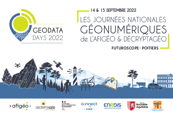
The GEODATADAYS of September 14 and 15, in Poitiers (Futuroscope) , is the essential event for all players in Geo-Tech : debates, innovations and challenges, come and discover how geomatics speaks to us about today’s world and tomorrow: geodatadays 2022
Data Terra , one of the major players in geographic information, is a silver sponsor of this symposium. Find our infrastructure and its centers at stand 24.
The Data Terra research infrastructure will participate during the 2 days with a program rich in events. DATA TERRA is dedicated to Earth observation data and is based on four data centers and services corresponding to each of the major compartments of the Earth system: AERIS (atmosphere), FORM@TER (solid Earth), ODATIS (oceans) , THEIA (continental surfaces): See the data and service
hubs DINAMIS, the National Institutional System for Pooled Satellite Imagery Supply is a transverse component of DATA TERRA and will also be present during GeoDataDays.
The main mission of IR DATA TERRA is to develop a global device for accessing and processing data, products and services dedicated to Earth observation. Each pole and device aims to facilitate access to and processing of satellite, terrestrial and in-situ data from several sources: satellites, space missions, aircraft, balloons, oceanographic vessels, sensor networks and scientific communities.