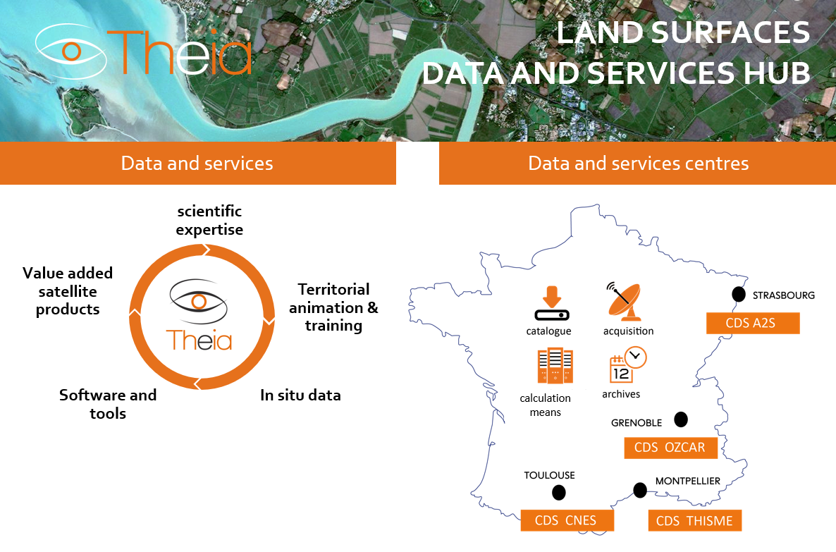
The THEIA land surfaces data and services hub was created in 2012. It provides for the national and international scientific community and public environmental resource monitoring and management policies a vast portfolio of value-added satellite data products, software, algorithms and image processing to support observation of land surfaces.
Products and algorithms developed encompass the key cross-cutting fields of agriculture, biodiversity, surface waters, forests, coasts, land occupancy, snow and ice, measurement physics, natural hazards, health and urban planning.
Theia is structured around several data and services centres (CDS), a network of 27 Scientific Expertise Centres (CES) and five Theia regional mediation centres (ART).
The Data and Services Infrastructures (DSI) rely on a range of stakeholders: Muscate, Thisme and A2S for satellite data, and OZCAR for in-situ data.
The CES comprise different teams from national research laboratories pursuing research work and developing innovative methods to boost uptake of satellite, aerial and in-situ data to address land surfaces issues.
The ART network enables regular exchanges with stakeholders and product users.
To meet these communities’ needs, Theia is pursuing four main goals:
- Promote and ease access to satellite Earth-observation data, for scientists and public stakeholders, i.e. imagery, value-added products and in-situ data
- Develop value-added products and services for the scientific community and public stakeholders
- Network competencies
- Support French research in the field of land surfaces at European and international level
FIELDS OF INVESTIGATION
Agriculture | Biodiversity | Surface waters | Forests | Coasts | Land occupancy | Snow and ice | Measurement physics | Natural hazards | Health | Urban planning
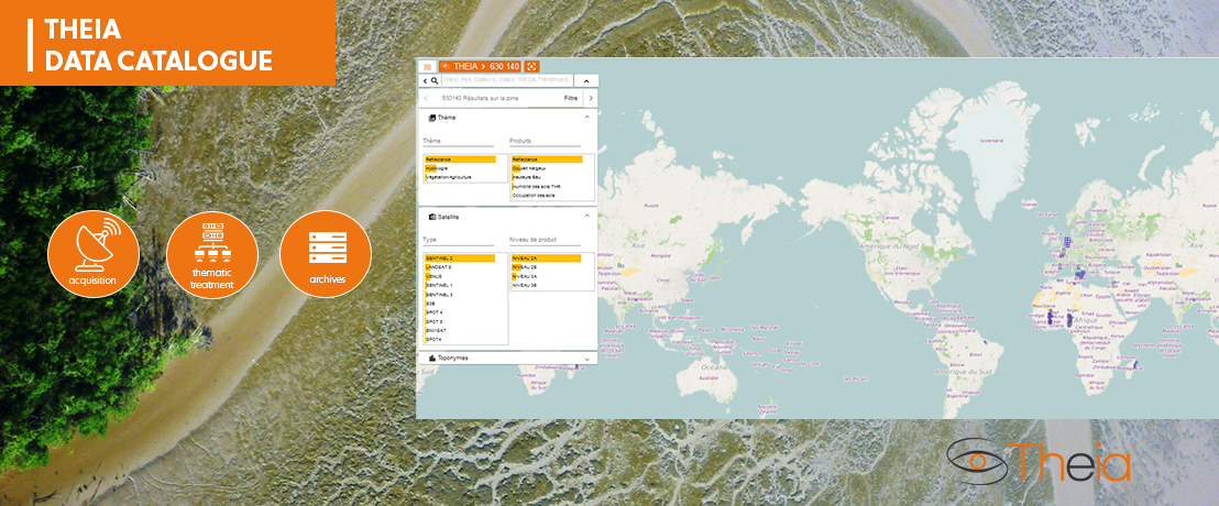
THEIA data and services catalogue
THEIA thematic products add value, in terms of processing and distribution services, to a wide range of space products, with various spatial resolutions and techniques.
This data catalog allows access and download of satellite observation products of land surfaces with a continuous and regular production. It offers searching functionalities by date, location, sensors or by topics. The download of data may require a free THEIA account open to all.
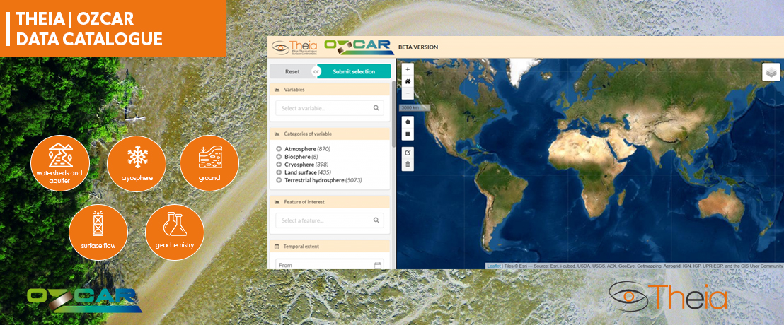
THEIA | OZCAR: a one-stop portal for in-situ land surfaces data
The goal of the Theia/OZCAR information system is to boost the profile of in-situ land surfaces data gathered by French research bodies and their partners in France and abroad.
The OZCAR research infrastructure (for Observations de la Zone Critique : Applications et Recherche*) coordinates 21 approved observatories managing 60 sites in France and abroad—in North and West Africa, Asia, South America and the Arctic—covering a few hectares to several hundred square kilometres.
* Critical Zone Observations: Applications and Research
For more information about the OZCAR project, see its dedicated website: https://www.ozcar-ri.org/
THEIA | OZCAR data and services catalogue
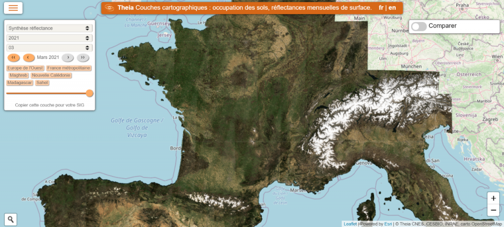
MAPS: Visualization tool for THEIA map layers
The MAPS tool allows you to visualize and download certain Theia products—land occupancy, NDVI, snow, reflectance, etc.—on line and import them into GIS software.


